Co. Waterford, Ireland
A visitor's guide to the Copper Coast UNESCO Global Geopark.
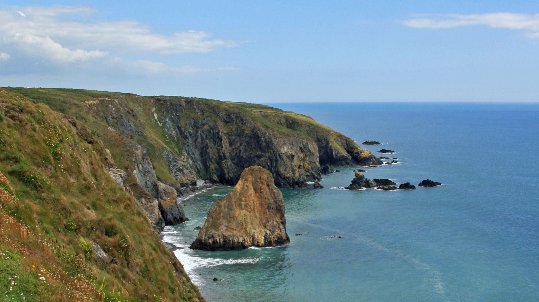
The Copper Coast is a 25km stretch of Waterford coastline running from Kilfarrasy in the east to Stradbally in the west, with the village of Bunmahon at its centre. It was recognised as a European Geopark in 2001 and carries the UNESCO Global Geopark label, a designation given to places where the landscape tells a story worth protecting.
Here the story is written in the rock itself: volcanic ash and lava from an ocean that closed 460 million years ago, folded and tilted into cliffs, and then mined for copper in the nineteenth century. There is no fence around it. You walk it, swim below it, and drink your coffee on top of it.
How the Copper Coast was made.
c. 460 million years ago
Volcanoes and an ancient ocean
The rock beneath Bunmahon began life as lava, ash and sediment on the floor of the Iapetus Ocean. Those layers, folded and tilted by the collision of continents, are what you're standing on today.
1820s to 1870s
The copper years
The mines at Knockmahon and Tankardstown made this quiet valley one of Ireland's great copper districts. At its height well over a thousand people, men, women and children, worked the shafts, dressing floors and boats that carried ore out of the cove.
Late 19th century
Silence, and emigration
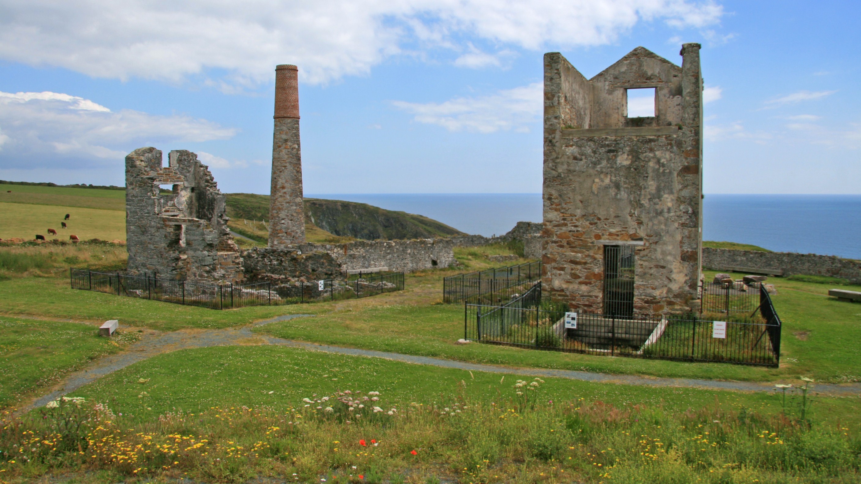
When copper prices collapsed the mines closed, and Bunmahon's miners took their skills to Michigan, Montana and Australia. The Cornish engine houses on the cliff at Tankardstown were left standing over the sea.
2001 · 2015
A geopark on your doorstep
The coastline was recognised as a European Geopark and later carried the UNESCO Global Geopark label, 25km of cliffs, coves and mining heritage from Kilfarrasy to Stradbally, with Bunmahon at its heart.
What to see along the coast.
Bunmahon Beach
A kilometre of sand and dune at the mouth of the Mahon river, with lifeguards in summer and parking right at the strand. Two minutes' walk from Cupán C.
Tankardstown engine houses
Two restored Cornish engine houses on the cliff east of the village, built to pump and wind the copper mines. A short signposted cliff walk with viewing platforms over the sea.
Ballydowane Cove
Ten minutes west: deep red cliffs, sea stacks and a sheltered strand that is one of the most photographed spots on the whole Copper Coast.
Kilmurrin Cove
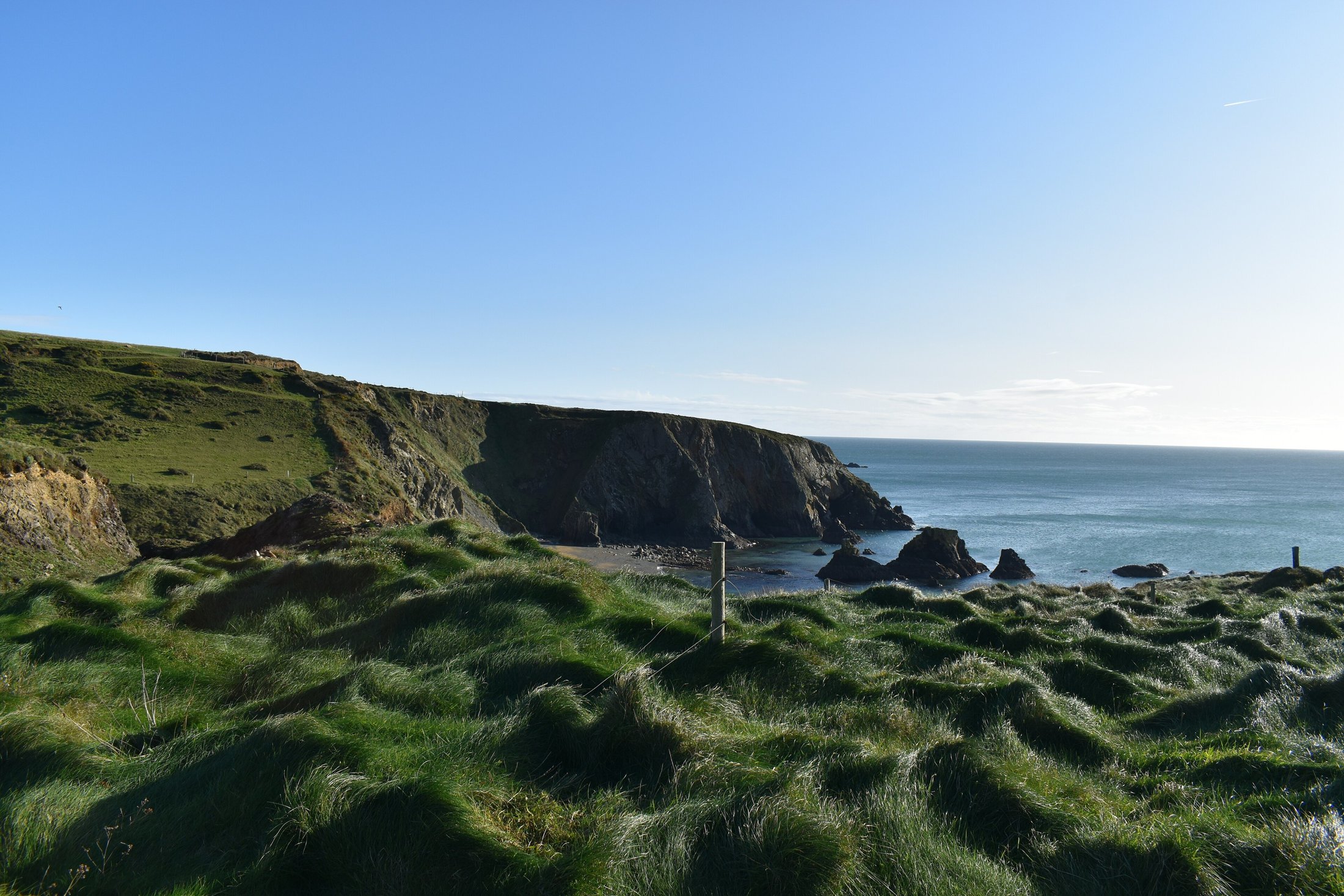
A small, steep-sided cove between Bunmahon and Stradbally, good for a quick swim and for seeing the folded volcanic rock up close.
Copper Coast Geopark Visitor Centre
Housed in the old church at Knockmahon, with geology and mining displays and maps of the walking trails.
Stradbally and Annestown
Two villages east along the R675 coast road, each with its own strand, an easy loop back to Bunmahon for lunch.
A day on the Copper Coast.
- 08:00
Coffee before anyone else is up
Pónaire in a cup, the door open, the Mahon river running out to the sea behind you.
- 09:30
Down to the beach
A kilometre of sand and dune at Bunmahon. Swim, walk the tideline, or just watch the Atlantic do its thing.
- 11:30
Up to the engine houses
The cliff walk to Tankardstown: two roofless Cornish engine houses, wildflowers, and a drop straight into the sea.
- 14:00
Over to Ballydowane
Red cliffs, sea stacks and one of the most photographed coves on the Copper Coast, ten minutes west.
- 17:00
Ice cream, then the light goes gold
Back to us for something sweet, then out to the headland for the sunset. Nobody leaves on time.
